CTXR is a modular, scalable and open data platform that unlocks urban and area information through interactive maps, routes and Points of Interest (POIs). The platform is built around a powerful core engine that links locations to meaningful content — from monuments to events, and from cultural stories to immersive Augmented Reality experiences.
…and you can create routes all by yourself or with your favourite developing partner.
CTXR speaks the same language as the modern web — using Schema.org, JSON‑LD, GeoJSON and clean REST=ful APIs — so every piece of content can flow effortlessly between websites, apps, open‑data portals, and future systems without translation. On these open standards your data flows where you need it.
Developers can build, connect and operate their own components. Developers and agencies plug in feeds (Open Urban Platform, calendars, monuments, Augmented Reality, 8th wall binary, AI agents) and ship custom -browser based- mobile experiences.
Multilingual content, TTS/audio options, offline Progressive Web App (PWA) support and proximity notifications for real‑world engagement. Supports auditory content and language variants for broad accessibility. CTXR supports POIs, routes, storage, location notifications and storage and shortlinks for personal experiences.
Locations are approached as carriers of information. By structuring and enriching this information, a digital layer is created over the physical environment, accessible to citizens, visitors and developers.
Users can collect and share their own place‑lists — just like a Spotify playlist, but for real‑world locations
CTXR creates a digital layer over the physical environment so locations become carriers of structured, enriched information for citizens, visitors and developers.
“CTXR (City Tour Extended Reality) is a modular, scalable and open data platform that unlocks urban and area information through interactive maps, routes and Points of Interest (POIs).”
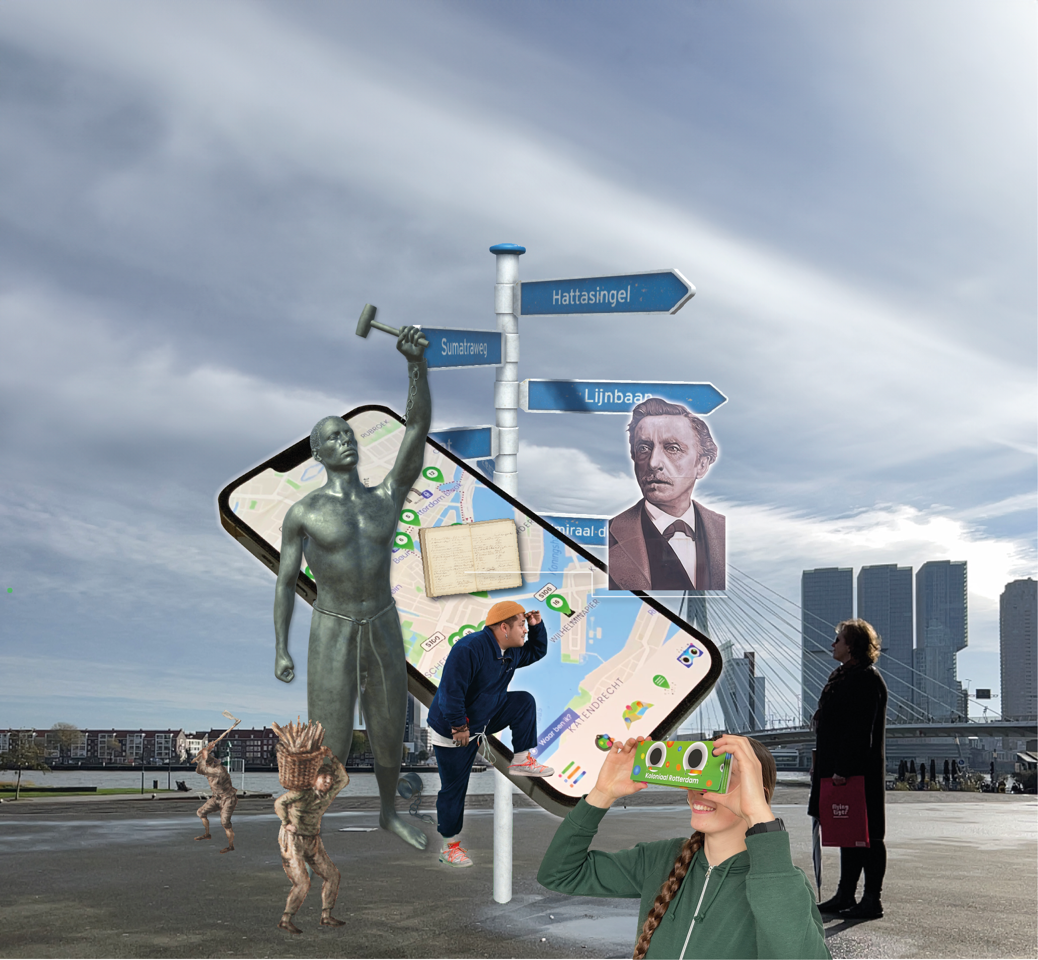
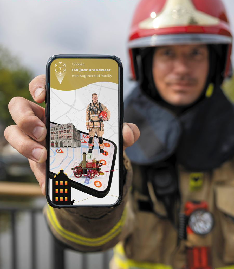
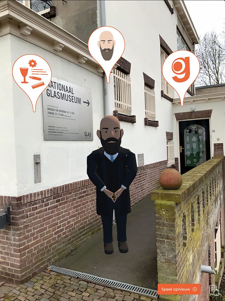
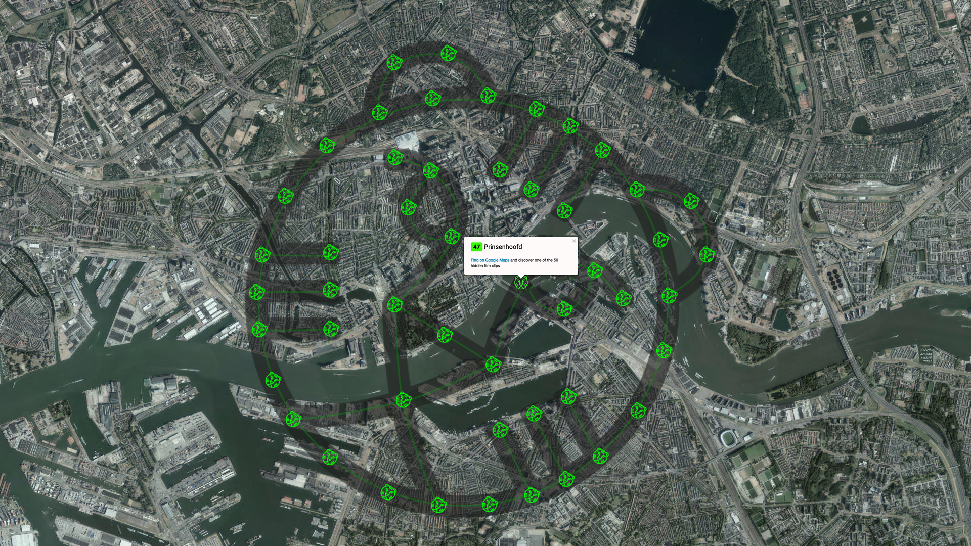
Developers can plug in data streams (OUP, calendars, monuments, XR assets, AI agents) via open APIs and build custom components, routes and placelists without rebuilding core infrastructure. The platform is modular, XR‑ready and based on open standards (JSON, GeoJSON, RESTful APIs).
End users can discover, create, save and share personalised routes and placelists in a browser‑based PWA, receive proximity notifications, and access multilingual and audio (TTS) content — even offline when cached.
CTXR supports automated enrichment (GenAI scraping) plus editorial workflows and versioning so generated content can be reviewed and published through the admin dashboard. “The application couples 3D‑tiles and geo‑data from the OUP to monument information… presented as Points of Interest (POI's) in a list and on an interactive map.”
The platform centralises access through a Single Point of Access (SPoA) and provides role‑based admin controls, logging and GDPR‑compliant account management; active tracking is not required in standard deployments.
Yes — CTXR is designed for direct integration with OUP 3D‑tiles and geo‑data and can expose POI feedback back to municipal systems, enabling co‑creation and reuse of city datasets.
Tiers range from a Free Sandbox for testing to Starter, Professional, Business and Enterprise plans; enterprise options include dedicated instances, SSO, higher quotas and standalone packaging for offline or private deployments.
Typical pilot phases (technical prep, AI enrichment, backend & frontend work, testing) are scoped to deliver an initial monuments/POI layer within weeks — a sample project timeline targets delivery within a 2‑month window for a full monument layer.